Attraction
Yixin Yuan
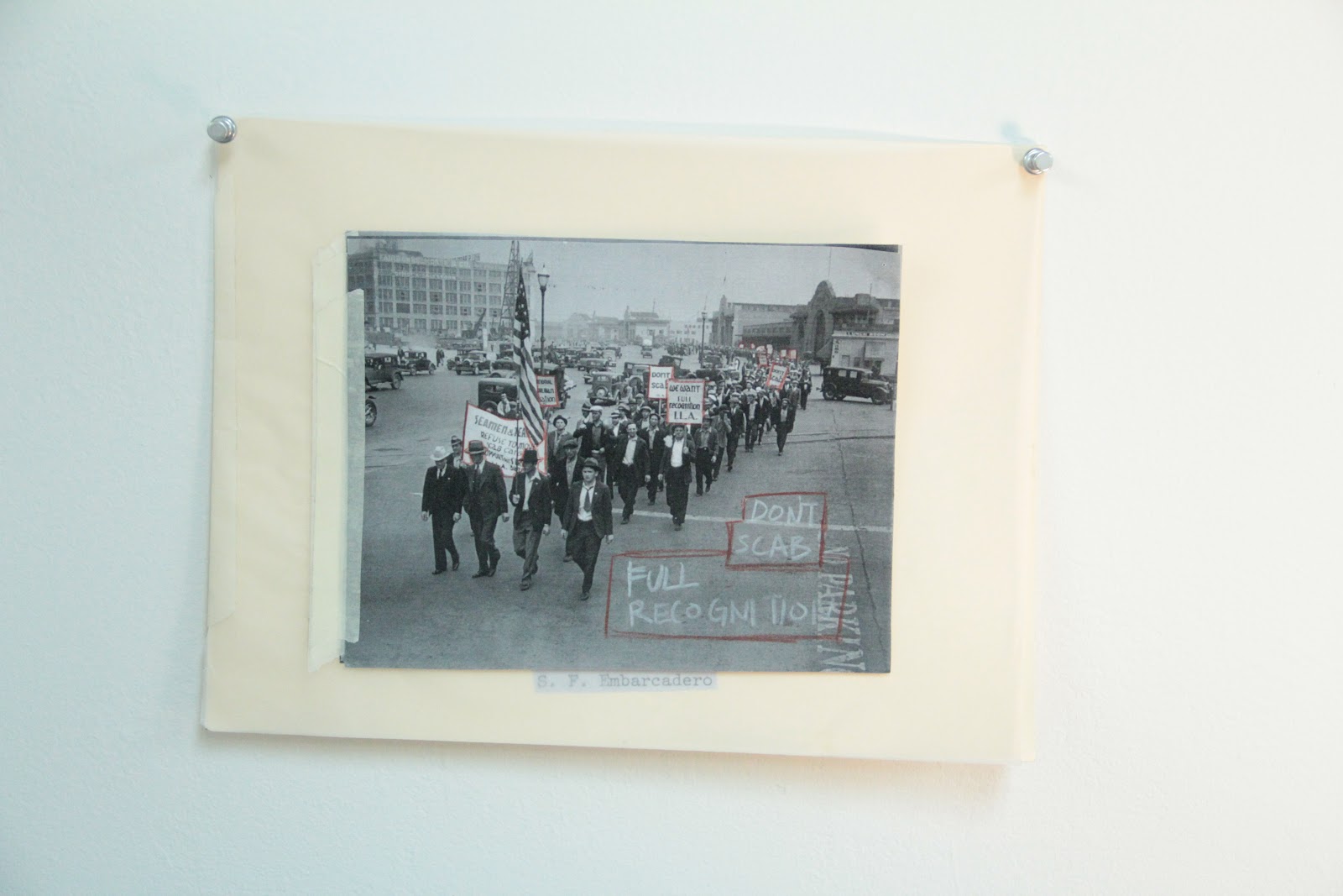
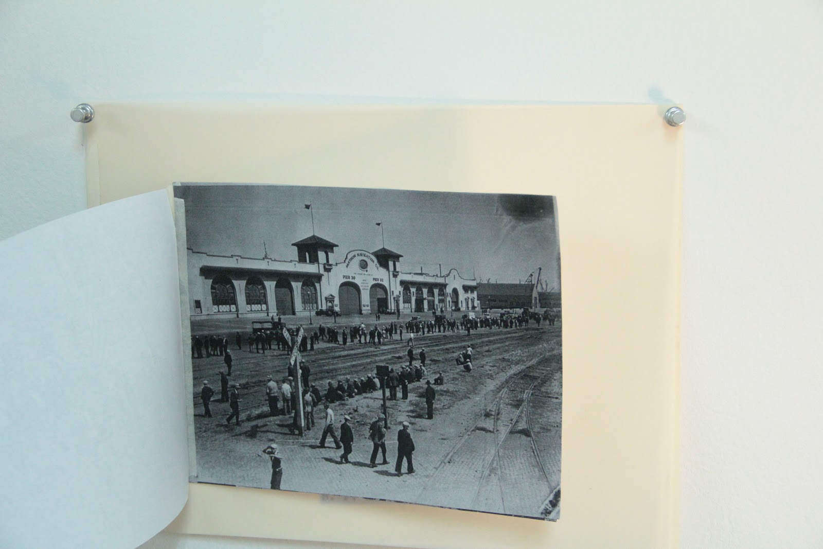
Through research, I am interested in San Francisco waterfront attraction. People come from all over the world to travel San Francisco. Because San Francisco has great place to visit, that place is waterfront. Water surrounds San Francisco on three sides, but the shoreline between the Golden Gate and Bay bridges gets all the attention. There are many attractions. Very year millions people come to visit SF, I maybe design some product that can help visitor more easy to travel SF.
Showing posts with label Group D. Show all posts
Wednesday, February 29, 2012
Port/Waterfront, Group D, Tabitha
Tabitha Taraya
Although the Port is integral to the history and identity of San Francisco, the City has grown apart from its waterfront despite expanding towards it. This is mainly due to the Port’s almost singular function as a place of industry within a de-industrializing environment. Having reached its height of maritime activity during World War II, the need for the Port’s facilities have been in decline as bridges had been built, technological innovations made in the shipping industry, in addition to, struggling with competition both neighboring and foreign.
Meanwhile, the Port of San Francisco is expected to contribute to city and state-wide interests without financial assistance from either as a public agency responsible for maintaining its own 7 1/2 miles of shoreline. Interests of which often conflict with the ability to improve the situation from decline. Furthermore, previous attempts to develop and reunite with the City have proven ineffective and resulted in even more set backs. Thus, we have arrived at the current Waterfront Land Use Plan adopted in order re-strategize its use and functions; in hopes to “alter the course of history at the Port.”
For my project I plan to create a kit for navigating through the Port’s past attempts at gentrification towards the future. The kit will be complete with an abridged copy of the current Plan, a sort of old Sanborn map that will layer the past plans of redevelopment, a log book detailing these past plans, along with, a few tools for recording and mapmaking reminiscent in aesthetic to maritime navigational devices.
Port/Waterfront, Group D, Steven
The Worker
Steven Soundara
For
my project, I plan to investigate the evolution of the port workers’
clothing from the port’s inception to modern day. Work clothes have long
since been an influence in the clothes that everyday people wear, with
many styles having been appropriate from their original context to an
entirely different context. I plan to approach this project with a fine
art sensibility. My piece with have an informational research component
as well as a textile and materiality component in the finished project.
03 March 2012
Sunday, February 26, 2012
Port/Waterfront, Group D, Stephanie
Progress: Project Semi-Final
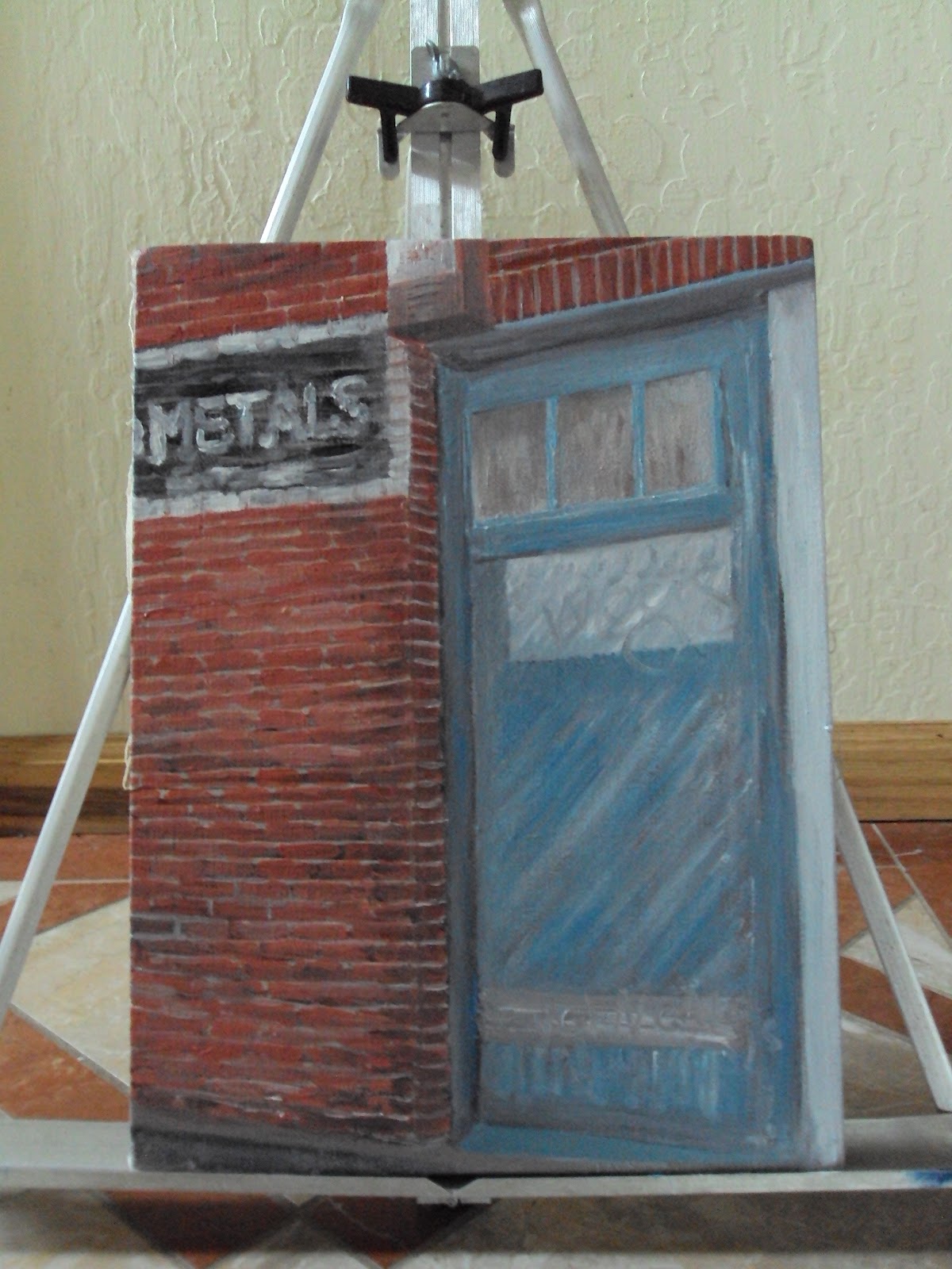
The area that I have decided to focus on has been changing before my very eyes. Recent construction scaffolding on the facade of the building has partially obstructed the doorway which I am focusing my painting on. Therefore, I have decided to work with the circumstances and interpret the gentrification as an adaptive situation. Originally I had planned on leaving the painting in front of the door which I was abstracting -- but now I will place it on the temporary construction cut out door (beige) to the right of the door. The painting will be unframed but hung like a gallery setting on the beige doorway. A photo--similar to this--will be taken as the final representation of my product... a picture within a picture.
Progress: Painting 02
Progress: Painting Inspiration
Illusionary Lines
Building Facade
Building Door
(The painting will hang on the beige temporary door to the right of the actual door.
I will try to get the best possible crop of the area at both a micro and macro scale).
Door in Context
(Passersby barely notice or seem to care about the change happening to the area)
Progress: Project Update
For my project I will be delivering 3 items: A) Map B) Painting C) Booklet. The purpose of having three items is to create a composite picture of what the area entails in geographic terms at various scales from macro to micro. The maps is the most comprehensive mean of way-finding for all of the class groups (every single street is represented), the painting provides a personal interpretation of a choice scene (old steel factory door), and the booklet is a smaller and more in depth representation (personal photographs) of first hand images taken from the area during my exploration: most images are about desolation and prevention of access.
The map (40"x40") will be silk screened on a gray/blue paper with a white metallic ink. It can also be used as a catalog cover or exhibition poster. The painting (12"x16") is made with oil colors on white canvas and will ideally be hung in creative way, and the booklet (4"x6") will be displayed next to the painting on a podium as a printed object.
Progress: Painting Inspiration
Progress: Map 01
Progress: Painting 01
Progress: Map 00
Progress: Painting 00
Invisible Lines The Port/Waterfront of San Francisco has varied intentions and uses. Mostly advertised as a tourist area, few appreciate or realize its industrial past. The China and India Basins were the crux of commerce and social interaction since the 1860s’ - yet their impact today is marginal as their access is minimal.Through a series of maps, I intend to reveal both the seen and unseen borders within this once-thriving area to help reestablish its presence. A poster series identifies invisible borders within the macro & micro zones of San Francisco. Poster 1: San Francisco | Then & Now, Poster 2: San Francisco | Neighborhoods, Poster 3: San Francisco | Port/Waterfront Uses, Poster 4: San Francisco | India/China Basin Access. ![]() |
| Sketch of poster series proposal |
Why is an
area that once held so much value not being embraced by the San Francisco
community? How is it that an area built on man made resources was responsible
for commerce of the most precious natural resources? When will this area be
ready for change?
Through
graphic cartography I intend to highlight the shifts in usages, stakeholders,
and topographies of the India Basin area to better understand it’s past – and
hopefully where its future could be.
Map of original shoreline (1852) versus modern shoreline (1988)
RISING TIDES
Stephanie Szabo
The San Francisco water line has changed dramatically over the course of its history due to landfill. Whether by natural or man made forces, the perimeter continues to encroach in an ever charged battle over the coastal terrain. Via traditional silk screen print methods, I intend to showcase how these lines are interacting through overlapping layers of ink, what elements are converging over time, and what the future implications might be.
USGS map of where landfill is (original marshes = blue) (waste = pink)
Japanese topographic map of salt flats and seismic hazards
Thursday, February 2, 2012
Port/Waterfront
Introduction
The China Basin & India Basin areas of the San Francisco Port/Waterfront history are vastly different from their heyday. Originally developed as industrial zones for cargo shipments from around the world, they were a workers maritime paradise. Sadly however, as the demand for an active port area diminished, the Basins have become so much less than they were originally envisioned and today are mere remnants what they once were.
China Basin is located between South Beach and Mission Bay Districts and was originally named for the China Clippers of the Pacific Mail Steamship Line that docked here at Steamboat Point after the mid-1860s. The area was originally filled with water and named Mission Bay. India Basin is located in the area surrounding Cargo way along the water until Hunter's Point Naval Shipyard. It first appeared on a map in 1868 and is supposedly named after the ships from the India Rice Mill Company.
China Basin: 1869 - 2012
![]() |
| India Basin map, 1868 |
![]() |
| India Basin view of Hunter's Point Naval Shipyard, 1920 |
![]() |
| India Basin View from Hunters Point, 1930 |
![]() |
| India Basin Shrimp Sales, 1933 |
![]() |
| India Basin Shrimp Junks |
![]() |
| India Basin, 1970's |
----------------------------------------------------------------------------------------------------------------
Port/Waterfront: 2012
![]() |
| View from India Basin Shoreline Park |
![]() |
| Abandoned Cargo Piers |
![]() |
| Industrial Boat Crane |
![]() |
| Construction workers lunch break |
![]() |
| Center of historic main cargo area |
![]() |
| Abandoned Building |
![]() |
| Graffiti tags over the main building |
![]() |
| Wire fences blocking marble entrances |
![]() |
| Wardens stand of the industrial warehouse |
![]() |
| Safety First! What remains of the announcement board |
![]() |
| Meaning in chain link? |
![]() |
| The only 'entrance' to the warehouse (through the fence) |
![]() |
| Fading paint, paper, and people |
![]() |
| Abandoned metalsmith shop |
![]() |
| Nearby power plant (one of the only operating facilities) |
![]() |
| The quintessential workers lunch - a taco truck |
![]() |
| Wires of connectivity |
![]() |
| Abandoned cargo warehouse |
Subscribe to:
Posts (Atom)